SUNNYVALE SALT POND MAP #2
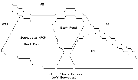
The plumbing in this area is quite strange and I don't claim to have figured it out. If you walk out to the Sunnyvale ponds from the public shore access point off Borregas there is a drainage channel on your right. As you reach the first corner you will see on your left three channels. The first channel, the one closest to downtown Sunnyvale, is a freshwater channel that carries storm drain and industrial waste water from Moffett Field and moves it through the pumping station there, I believe, into the drainage channel on the other side of the levee. From there this channel heads northeast towards Guadalupe Slough and is referred to on the Mountain View topo as the "Moffett Channel." It is no accident that this is where we find Green Herons and Common Moorhens. The next channel on your left, moving out to the bay, is the transport channel for Cargill salt water moving from A3W to A4. Finally, the third channel is part of the Sunnyvale WPCP treatment - dual levees with a channel between appear to be the standard for the WPCP. It appears that some of the WPCP delectables come up inside one of these channels not far from the first corner - at least Bonaparte's and Mew gulls are often doing their little dance on the surface of the water here, looking for goodies. [WGB, 2 Jan 97]